
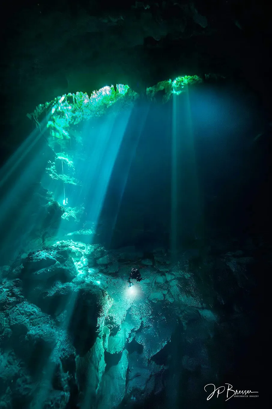
Cenotes of the Riviera Maya: interactive map and catalog of thirty-one cenotes
The cenotes of the Riviera Maya, Quintana Roo, open into nine of the ten largest underwater cave systems in the world. This catalog covers thirty-one cenotes in six areas. Each cenote has its description, line map, exploration history and dive videos. On the Riviera Maya caves map you can see which cenotes are open to Open Water divers with a guide and which are for cave divers only. Ratings, dive guides and rules are published by CREER, the regional cave diving committee of Quintana Roo (Comité Regional de Espeleobuceo, Ecología y Regulación). We link them here and do not copy them.
Map

Cenotes available for Open Water divers and cave certified divers; cenotes available for cave certified divers only.
Six areas of the cenotes of the Riviera Maya
- Puerto Aventuras: Chikin Ha (X’Tabay), El Eden, Minotauro.
- Chemuyil: Coop One, Koi, Nai Tucha, Sac Xiquin, Tres Estrellas, Xunaan Ha.
- Dos Ojos: Dos Ojos, El Pit, Dos Palmas, Nicte Ha, Taak Bi Ha.
- Nohoch: Nohoch Nah Chich, Dreamgate, La Concha, Nariz (Otoch Ha), Outland, Pedrin Fenomeno.
- Tulum North: Carwash, Kim Ha, Tortuga, Vaca Ha.
- Tulum South: Angelita, Jailhouse, Mayan Blue, Dos Pisos, Monkey Dust, Naharon (Cristall), Xa’ay Ha (Chi Keen).
Reading
- Articles: Cenote and Cave Environment, Cave Diving Movies, Flying After Diving, Safety of Diving, Diver Certification Equivalences.
- Exploration: Sistema Dos Ojos Exploration Project, and the rules of CREER, cenote ratings and status, cenote dive guides, Cave Pass.